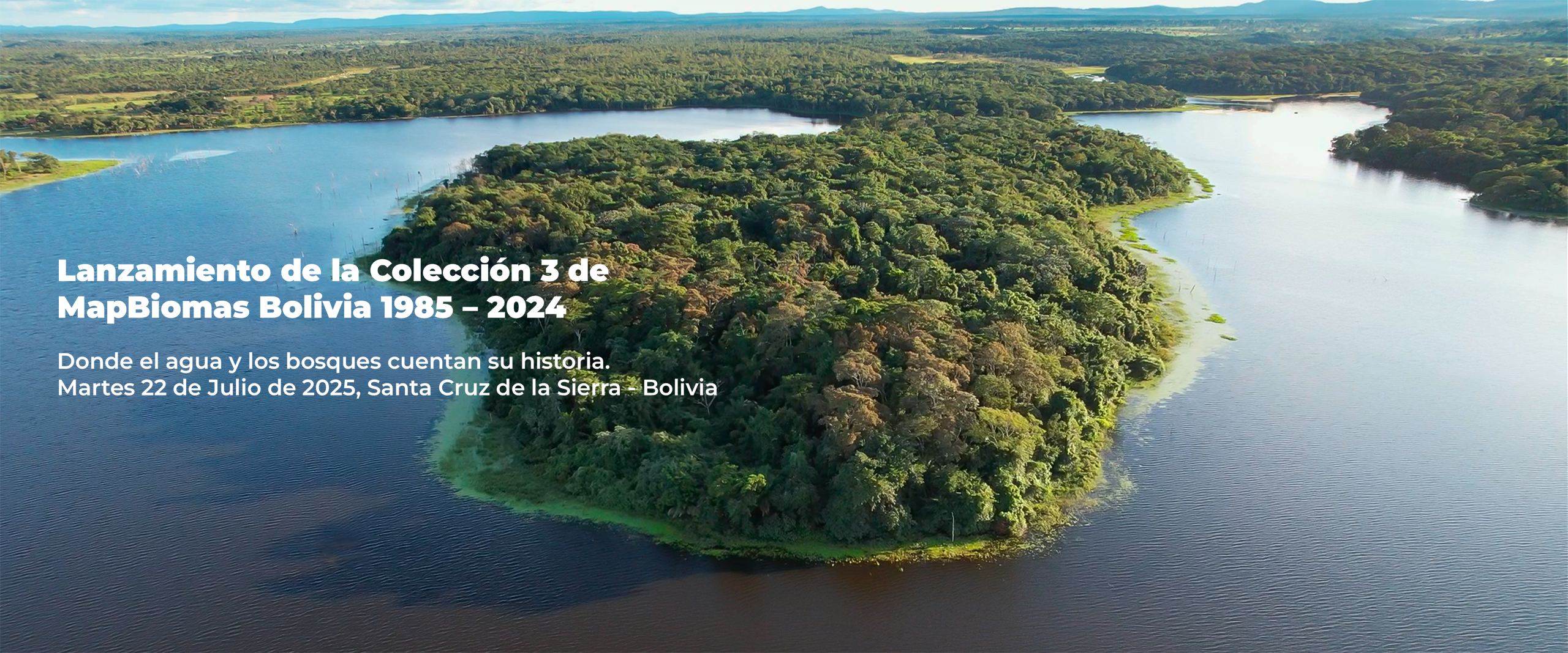
Explore los resultados de clasificación de la Colección 3 de MapBiomas Bolivia entre los años 1985 y 2024.
Los mapas y estadísticas pueden ser consultados por diferentes unidades de interés para los datos de cobertura y uso de suelo y de la superficie de agua.
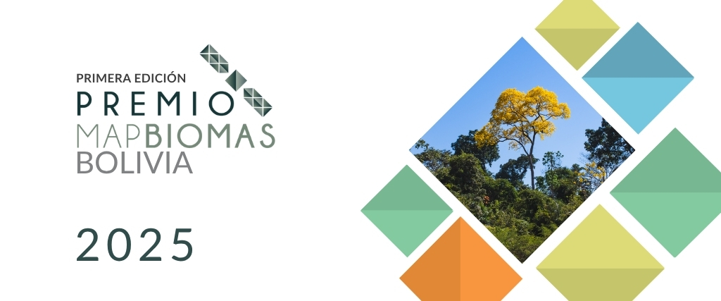
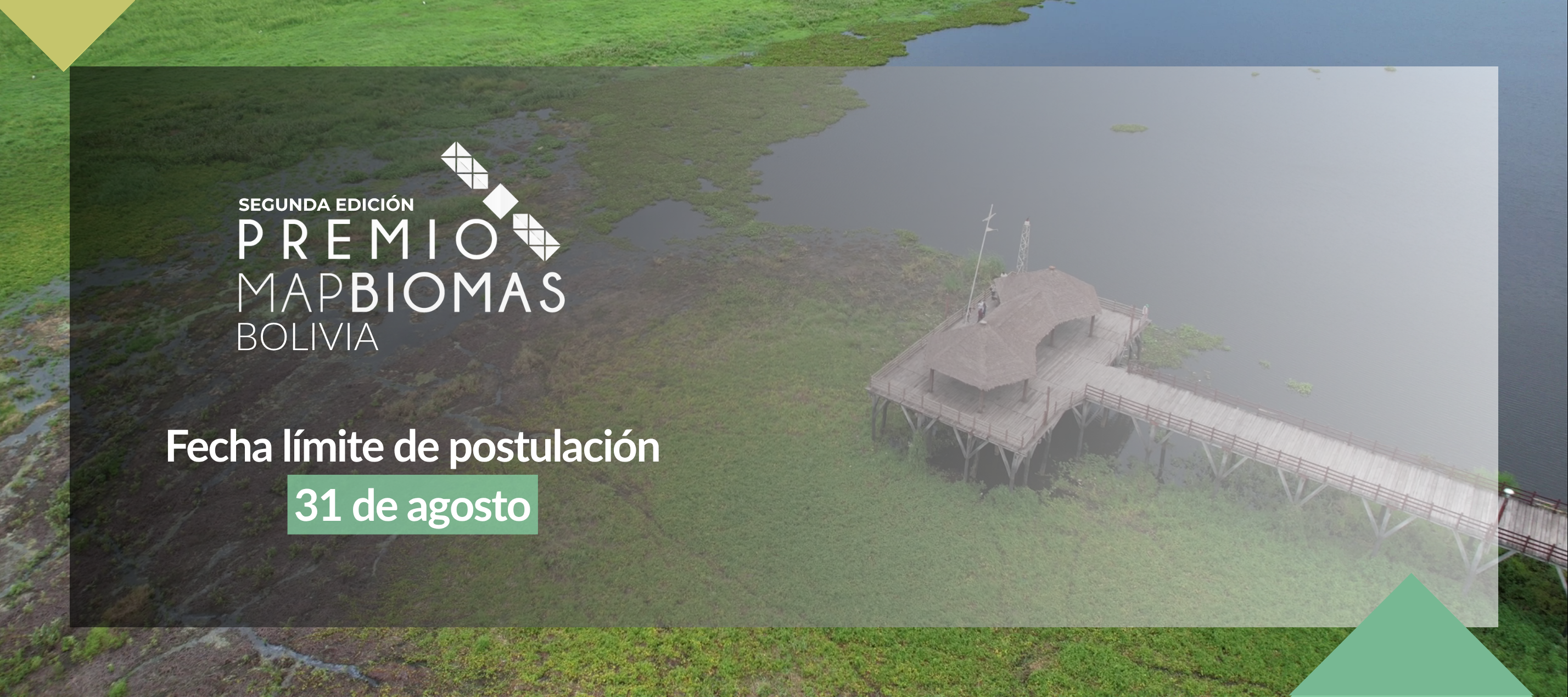
El Premio MapBiomas Bolivia es una iniciativa que fomenta y reconoce trabajos para el manejo sostenible de los recursos naturales.
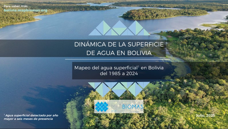
Agua
Bolivia
Conozca la metodología de MapBiomas Bolivia y cómo se organiza la red para generar mapas y datos de cobertura y uso de suelo.
Create custom maps
Join our forum
ACCESS FAQ
Data download